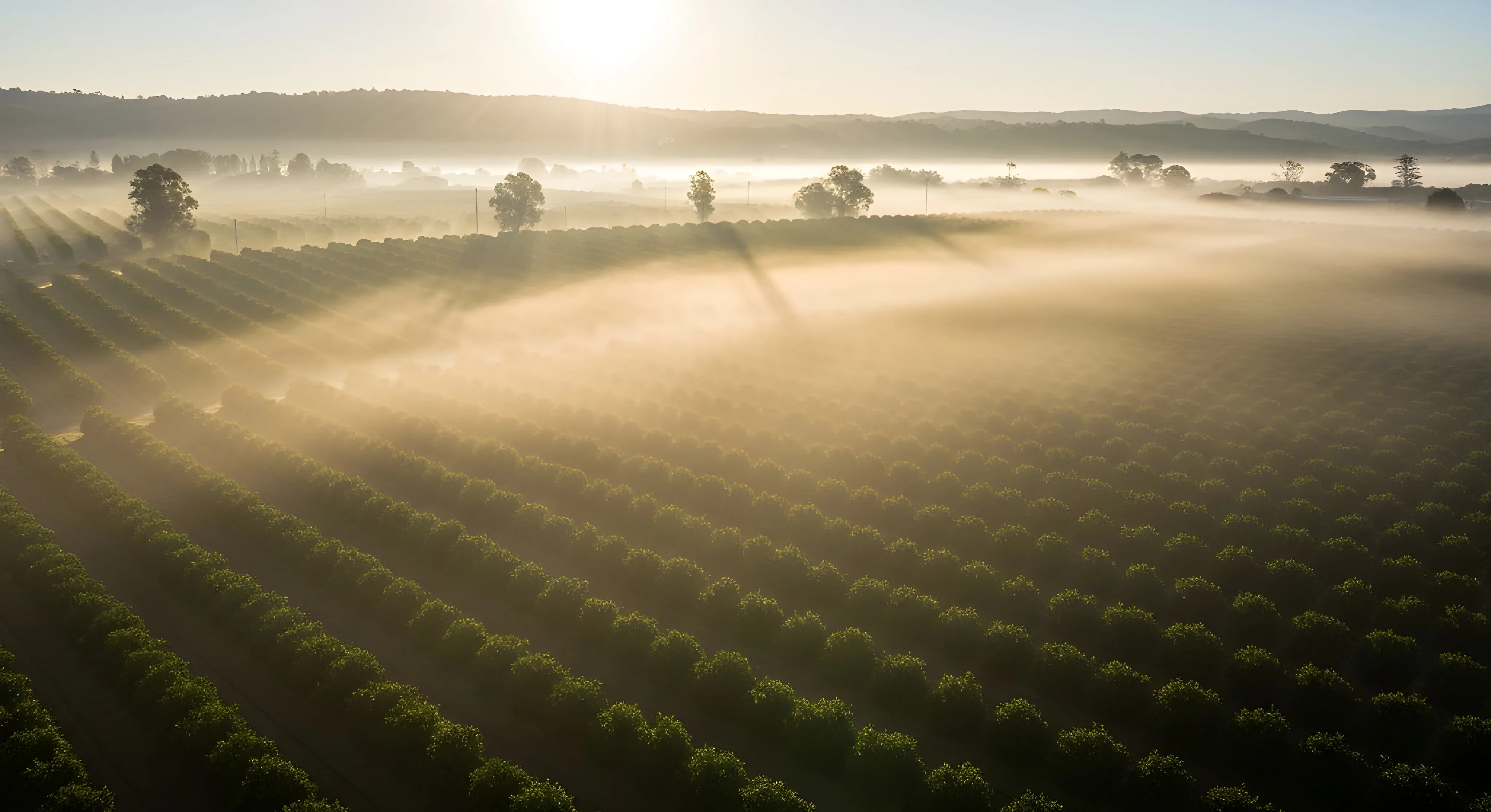
Turn data into decisions at the office
The top view: what the field records and the ERP consolidates becomes map, report and indicator. Geo, finance and BI in the cloud, from anywhere.
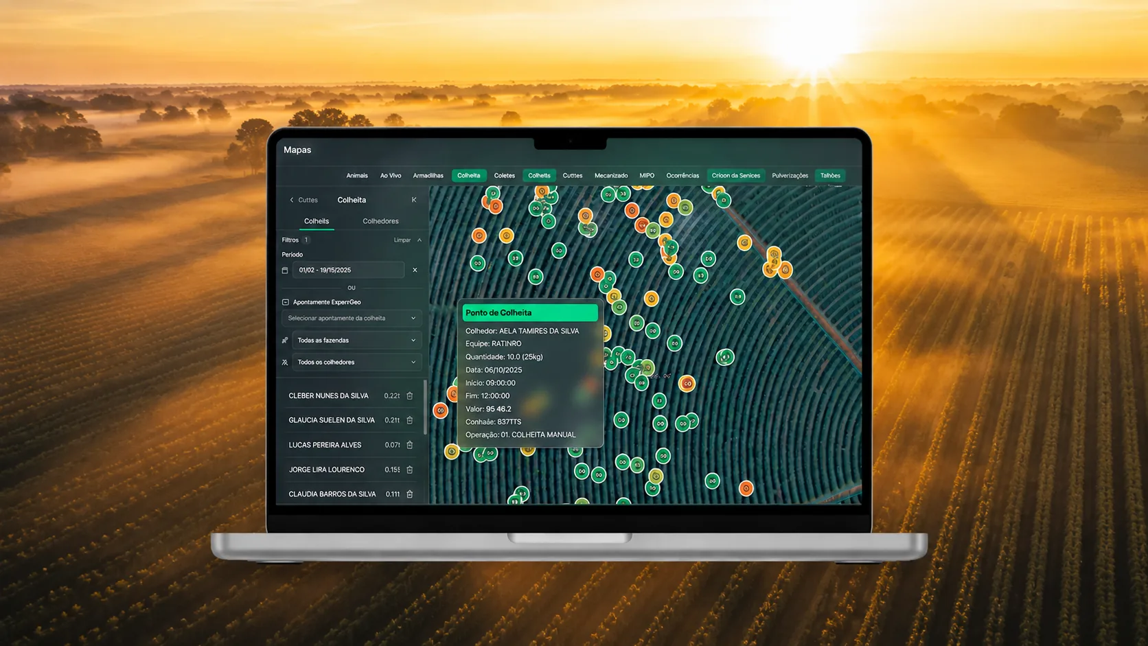
Plots and spraying
The top view
What the field records and the ERP consolidates becomes map, report and indicator, ready to decide.
In the cloud
Access from anywhere, in the browser, with nothing to install. The operation follows you off the farm.
Synced with the ERP
The platform reflects the AGROs ERP base with no manual intervention: the same data, in real time.
Geo & maps
Maps with satellite imagery and spraying status by target and date, with plot delimitation and measurement.
Finance
Bank integration via OFX and API, automatic statement reconciliation and projected cash flow.
62 sc/ha
Produtividade
R$ 4,1 mil
Custo
28%
Margem
BI & dashboards
Executive reports and dashboards customizable by role, with comparison across seasons and periods.
Real-time monitoring
Track machinery and operations live, with a WebSocket connection to the operators' Mecanizado app.
Your property seen from space
Maps with satellite and spatial analysis of plots. Track spraying status by target and anticipate risk before the problem spreads.
- Spraying status by target and date
- Plot delimitation and measurement
- Updated satellite imagery
Finance without manual reconciliation
Automatic bank integration with statement transfer and reconciliation. Financial control in real time, without the rework of matching spreadsheets.
- Bank integration via OFX and API
- Automatic statement reconciliation
- Projected cash flow and payables and receivables
Operational data becomes decisions
Personalized executive reports and real-time dashboards turn what the field records into strategic insight for the office.
- Dashboards customizable by role
- Comparison across seasons and periods
- Sync with the ERP with no intervention
- Do I need to install anything?
- No. The Web Platform runs in the browser, in the cloud. You access from anywhere, with no installation.
- Where do the satellite images come from?
- The Geo module brings updated satellite imagery over your property's plots, with spraying status by target on the map.
- How does it connect to the ERP?
- The platform reflects the AGROs ERP base and syncs with no manual intervention: the same data, in real time.
- Is the bank integration automatic?
- Yes. The integration is done via OFX and API, with automatic statement transfer and reconciliation.